SpaceMore in Space→
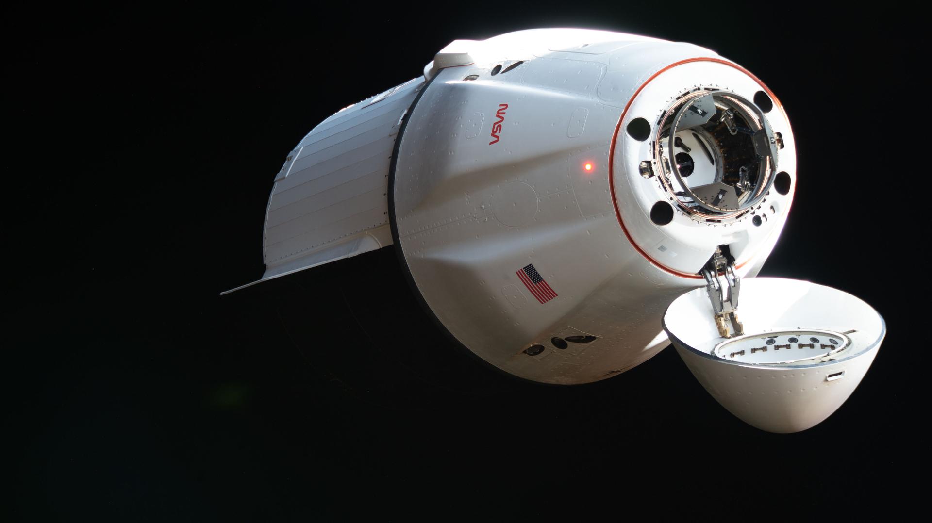
NASA schedules CRS-34 Dragon departure from ISS
Key Takeaways
- NASA will stream CRS-34 Dragon undocking on June 16.
- Dragon will return research samples and station hardware to Earth.
- The cargo includes bioprinted tissue, cryogenic fuel data, and air-quality hardware.
DE
DT Editorial Team··via nasa.gov