The battlefield navigation model is changing
The era when military forces could assume reliable GPS access is fading, according to the supplied source material. The article argues that jamming and spoofing are now routine features of the tactical environment and that some adversaries are also developing means to threaten the satellite infrastructure behind global navigation itself. For land warfare, that creates a straightforward operational problem: forces that cannot determine position and orientation reliably lose the ability to maneuver, coordinate and deliver precise effects.
Those claims come from a sponsored article, so they should be read as advocacy from an interested supplier rather than as neutral assessment. Still, the core argument in the supplied text is consistent and important enough to track as an industry and doctrine shift. The military market is placing greater value on navigation systems that do not depend on external signals.
Why GPS is no longer enough on its own
The supplied material describes a tactical environment in which GNSS interference is no longer exceptional or limited to top-tier military powers. It says jamming and spoofing have become common even in lower-intensity conflicts and are increasingly shaped by a fast-moving measures-and-countermeasures cycle. That evolution matters because it changes what resilience means. Protecting receivers and improving signals helps, but it does not solve the problem if the signal environment is contested from the start.
The article also extends the threat beyond electronic warfare. It argues that counterspace capabilities could degrade or neutralize satellite systems themselves, creating a deeper vulnerability than local interference alone. In that framing, any navigation architecture dependent on satellite availability retains an inherent strategic weakness, however hardened its receiver technology becomes.
The operational consequence is severe. The source text puts it bluntly: a unit that cannot determine orientation without external signals becomes combat ineffective. For land warfare, position and heading are not support functions. They are prerequisites for fires, maneuver, synchronization and survival.
The rise of infrastructure-independent navigation
The response proposed in the supplied material is a multilayered approach centered on autonomy from external infrastructure. The article specifically points to sensors that can provide usable navigation data without outside signals and references options such as terrain-based visual recognition, star tracking and inertial systems. Among those, it emphasizes fiber optic gyroscope, or FOG, technology as a key solution for land warfare.
The logic is easy to follow. Inertial navigation systems do not need a live satellite link to continue estimating motion and orientation. That makes them attractive wherever electronic attack or space disruption is plausible. They are not necessarily a wholesale replacement for satellite navigation, but they become much more important as a fallback and as part of a blended architecture.
What appears to be shifting now is not merely technical procurement. It is doctrinal weighting. For years, satellite-based navigation was so available that other layers often felt secondary. In a more contested battlespace, that order reverses. Independent navigation becomes a core requirement rather than a premium feature.
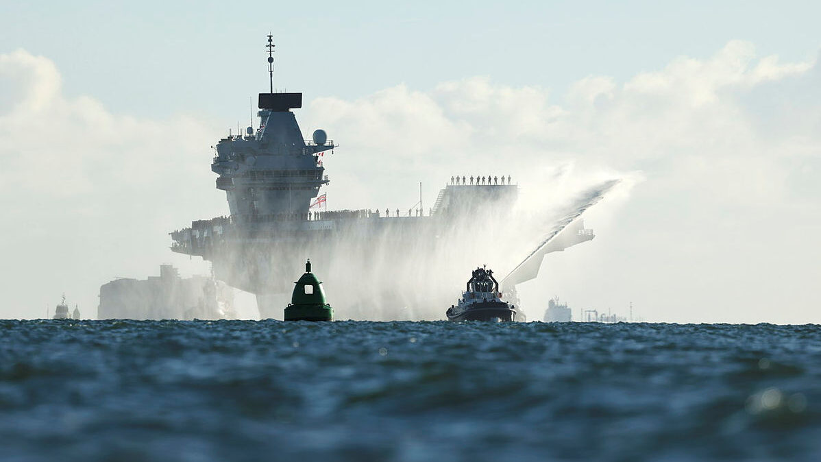
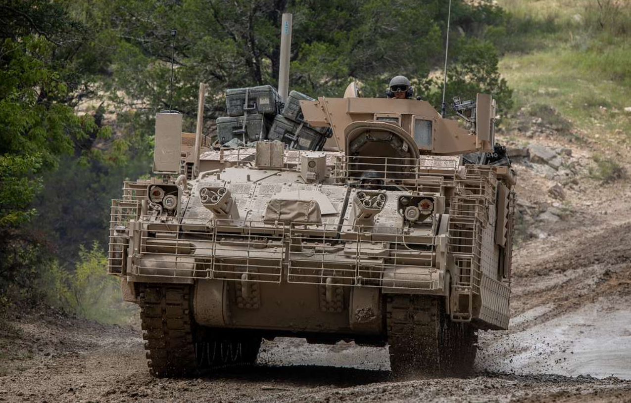
Why this matters for land warfare in particular
Land forces operate in ways that make resilient orientation especially important. Vehicles, artillery units and dispersed formations often need navigation under canopy, in urban terrain, during rapid maneuver and under active electronic attack. A momentary loss of reliable position can disrupt not just movement but timing, targeting and mutual support.
The supplied article’s emphasis on precise orientation is therefore notable. Position alone is not enough. Forces also need dependable heading and attitude information to align weapons, coordinate formations and avoid cumulative error in maneuver. That is where inertial approaches, including fiber optic gyro-based systems, are positioned as particularly valuable.
Because the article is sponsored, it naturally promotes the supplier’s technology. But that does not negate the larger trend it reflects. Defense buyers increasingly want systems that preserve operational function when the signal environment collapses or becomes deceptive. Vendors that can provide that autonomy are likely to see stronger demand.
A procurement signal as much as a technical one
The deepest significance of this story is that it captures an active defense market transition. GPS resilience used to mean better use of GPS. It increasingly means being able to keep operating when GPS is absent, attacked or strategically degraded. That change creates new room for inertial navigation, alternative sensors and hybrid navigation stacks designed for contested conditions from the outset.
The source article makes that case from a commercial standpoint, but the strategic direction is clear even when read cautiously. Navigation is being reclassified from a mostly solved support technology to a contested battlefield function. That reclassification changes investment priorities, testing standards and force design assumptions.
In short, the issue is no longer whether armies value satellite navigation. They do. The issue is what they trust when satellites cannot be trusted. Increasingly, the answer is systems that can navigate alone.
This article is based on reporting by Breaking Defense. Read the original article.
Originally published on breakingdefense.com