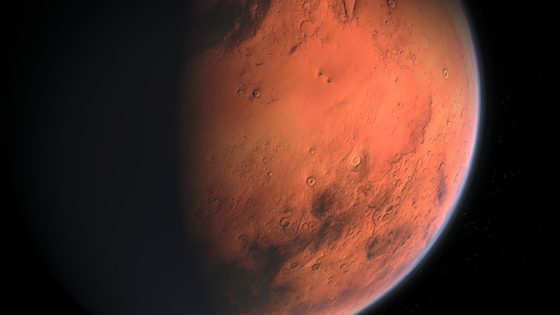
Mars Ice Maps Narrow the Search for Water Near Future Landing Zones
New mapping work from the Planetary Science Institute is sharpening one of the most practical questions in Mars exploration: where future crews might actually find usable water ice without going to the poles. Two recent papers led by researchers Hanna Sizemore and Samuel Courville outline updated global maps of subsurface water ice and, just as important, put numbers around how certain or uncertain those maps are.
That matters because NASA’s long-term human exploration plans depend on more than choosing a safe touchdown site. Astronauts will need local resources to reduce the amount of mass launched from Earth, and water is one of the most valuable materials available on Mars. It supports life directly, and the source text says excavated subsurface ice can be converted into hydrazine for rocket fuel as part of in situ resource utilization. In other words, the search for buried ice is tightly linked to whether a human mission can be made more affordable and more sustainable.
Scientists already know Mars holds abundant ice in polar regions. The harder problem is finding accessible deposits closer to the equator or in the mid-latitudes, where future crews and solar-powered systems would have an easier time operating. Surface ice is not stable across most of Mars for long periods because the atmosphere is so thin that exposed ice tends to sublimate, shifting directly from solid to gas. That means likely resources are hidden underground, sometimes at depths that could still be useful but would require better targeting before mission planners commit to a site.
How the New Maps Were Built
The new work comes from the PSI-led Mars Subsurface Water Ice Mapping team, or SWIM. According to the supplied source text, the group used data from NASA’s Mars Global Surveyor Thermal Emission Spectrometer and the Mars Reconnaissance Orbiter’s Mars Climate Sounder. Both instruments generated thermal maps that show how the Martian surface and atmosphere warm and cool from day to night and across seasons.
Those temperature swings are more revealing than they may sound. Researchers can infer what lies below the surface by tracking how quickly a region gains or loses heat. Materials with different physical properties behave differently under sunlight and in darkness. That makes thermal behavior a proxy for subsurface structure, including whether buried ice may be present within about a meter of the surface.
The team’s contribution is not just another map with colored regions and implied confidence. The papers aim to quantify certainty, identifying where the evidence is strong, where it is suggestive, and where more measurements are needed. That is a more operationally useful result for mission planners. A map that says “ice may be here” is only moderately helpful; a map that says “ice is likely here, but confidence drops sharply across this terrain boundary” can guide orbital follow-up, landed scouting, and hardware design.
Why This Changes Mission Planning
The central problem for future Mars crews is location. High latitudes are known to preserve shallow ice, and NASA’s Phoenix lander demonstrated that directly by scraping into the soil and exposing buried ice that later sublimated away. But those regions are not ideal for every human mission scenario. Crews operating farther south would prefer gentler environments and better solar conditions, yet that convenience comes with a penalty: the ice is expected to sit deeper underground and be harder to verify in advance.

The SWIM effort is designed to reduce that uncertainty. If planners can narrow the most promising zones near candidate landing regions, they can tailor future missions around those targets. That could shape everything from robotic precursors and drilling systems to landing ellipse selection and the balance between power, mobility, and excavation equipment.
There is also a strategic timing issue. Human Mars planning often gets discussed in terms of rockets and habitats, but resource mapping is a slower and more foundational task. If agencies wait too long to establish where water is likely available, then site selection and hardware development become guesswork. These papers push the field toward a more measurable standard by identifying what is known now and what still needs to be tested.
From Science Product to Exploration Tool
The source text frames the new studies as more than a pure science exercise. They identify missions and tools needed to improve confidence in the maps, which suggests the next phase is not simply updating a dataset but designing an observation strategy around it. That could include follow-on orbital sensing, landed measurements, or specialized instruments aimed at resolving ambiguous terrain.
This is the kind of work that often receives less attention than a new rover launch or a dramatic discovery image, yet it can have outsized consequences. Water availability is one of the main constraints on Mars mission architecture. Better probability maps change the planning conversation from broad assumptions about “Mars ice” to specific engineering questions about where it sits, how deep it is, and how much confidence decision-makers can place in each region.
The research also highlights a broader shift in planetary exploration: moving from discovery toward logistics. Early Mars missions established that the planet was once wetter and that ice still exists. The next stage is less about proving the concept and more about converting planetary knowledge into mission-ready infrastructure decisions. In that context, uncertainty itself becomes a variable that has to be managed.
For now, the headline is not that Mars water has been found in a brand-new place. It is that researchers are getting better at assigning odds to where subsurface ice should be, especially near the kinds of landing zones humans may someday use. That distinction is important. Exploration programs do not just need promising maps; they need maps with defensible confidence levels. These new SWIM results bring Mars planning one step closer to that standard.
This article is based on reporting by Phys.org. Read the original article.
Originally published on phys.org


