Houston-area residents may see an unusual concentration of research aircraft this month
NASA says five research aircraft will support a Student Airborne Research Program mission based at Ellington Field in Houston from June 3 through June 13, 2026. During that window, some maneuvers will be flown at low altitude over the Houston area as crews collect atmospheric and environmental measurements.
The agency said pilots will fly remote-sensing payloads in raster patterns, essentially parallel back-and-forth lines used to survey an area systematically. Those flights are intended to support research on how gases and particles move through the atmosphere, how the lowest part of the atmosphere changes near the coastline, and what natural processes are affecting nearby land and water.
Most of the sorties will take place over Houston, though some extend over the Gulf of America. While many flights will operate higher up, one aircraft, a WP-3D Orion owned and operated by NOAA, is expected to conduct maneuvers as low as 1,000 feet above ground level.
A science mission with multiple aircraft and instruments
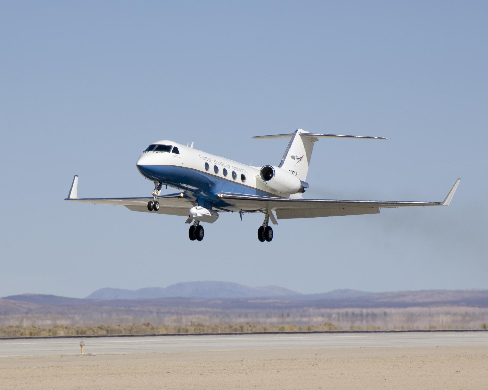
The NASA-operated aircraft in the mission include the agency’s Gulfstream V, Gulfstream C-20A, and Gulfstream III. They will be joined by NOAA’s WP-3D Orion and a King Air B200 owned by Dynamic Aviation and contracted by NASA. Together, the fleet brings a mix of remote-sensing tools designed to observe both the atmosphere and the surface below.
NASA said the participating aircraft carry two lidars, a synthetic-aperture radar, an imaging spectrometer, and two spectrometers. That combination allows scientists to gather different types of data at the same time, building a richer picture of environmental conditions across the region.
The NOAA Orion is especially notable. Best known as a hurricane hunter aircraft, it has also supported airborne science missions for NASA. The plane carries extensive scientific instrumentation, radar systems, and recording equipment for both in-flight and remote-sensing measurements. Flying it lower than the other aircraft can help capture data with finer local detail.

Why NASA is doing this over Houston
The mission is tied to the Student Airborne Research Program, or SARP, an eight-week summer internship that gives undergraduate students hands-on experience in field research and data analysis. The program is built around access to NASA’s airborne science laboratories, which let students participate directly in real campaigns rather than just analyzing archived datasets.
That educational angle matters because NASA’s airborne science work sits between ground observations and satellite missions. Aircraft can fly specific paths, carry specialized instruments, and validate measurements that may later inform larger-scale remote sensing. For students, it is an unusually direct entry point into Earth science operations.
Houston and the nearby coast provide a useful natural laboratory. The region combines urban emissions, coastal meteorology, land-water interactions, and complex atmospheric mixing. Measuring those features with coordinated aircraft helps researchers study environmental processes that are hard to capture from a single vantage point.
What people on the ground should expect
NASA’s notice is partly practical. Low-altitude flights can be conspicuous, and raster-style patterns often make repeated passes over similar areas. Residents may see or hear aircraft that appear to be flying unusual tracks, but those patterns are part of the mission design.
The agency also noted that flights can be tracked in real time through the NASA Airborne Science Program Tracker. That gives the public a way to distinguish scheduled research operations from other aviation activity, which is especially useful during a concentrated campaign involving multiple planes.
Although the mission announcement is brief, it reflects a continuing role for aircraft in environmental research even as satellite capabilities expand. Some observations still require flexible, targeted flights that can carry instruments too specialized, too experimental, or too heavy for routine orbital deployment.

Airborne science’s continuing niche
NASA’s airborne missions often receive less attention than launches and planetary exploration, but they fill a crucial gap in Earth science. Aircraft can sample dynamic conditions close to the surface, respond to specific research questions, and operate on timescales that support field campaigns and training programs.
This June mission near Houston also shows how operational science and education can be combined. Undergraduate students are not just observing from the sidelines. The SARP program is designed to immerse them in the same research environment that produces publishable Earth science data.
For the public, the most visible sign will be low-flying aircraft between June 3 and June 13. For NASA and its partners, the flights are part of a broader effort to map the atmosphere and coastal environment in finer detail while training the next cohort of airborne researchers.
This article is based on reporting by NASA. Read the original article.
Originally published on nasa.gov