From patrols to persistent monitoring
Indonesia is moving further into digital fisheries enforcement, using remote sensing, vessel tracking, and analytical tools to monitor activity across its waters. In a guest article published by IEEE Spectrum, fisheries intelligence and surveillance official Yogi Putranto describes a system in which marine governance is being reshaped by an expanding set of monitoring technologies and increasingly algorithmic forms of enforcement.
The geographic challenge is obvious. Indonesia oversees vast maritime space, and the article specifically points to waters in the eastern Indian Ocean south of Java, stretching toward Australia. In an environment that large, traditional enforcement based primarily on patrol vessels is expensive, intermittent, and limited by visibility. A boat can change course, drift near a boundary, or alter behavior long before a patrol arrives.
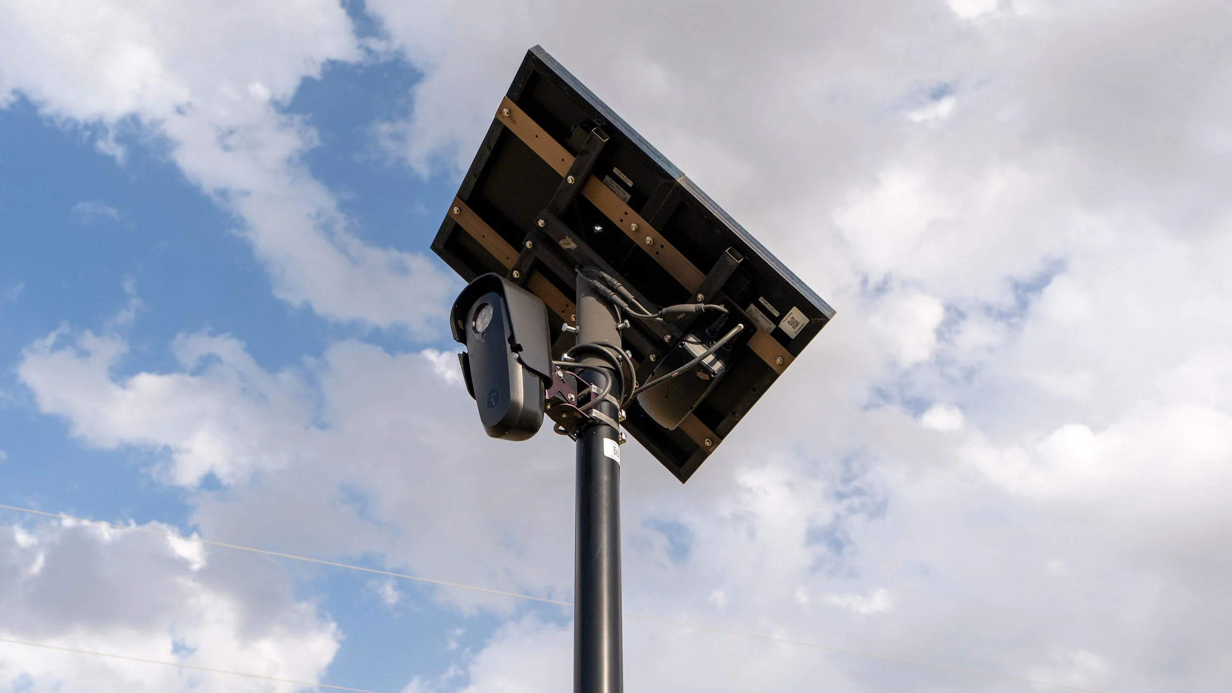
Digital monitoring changes that equation. Instead of relying mainly on physical presence, authorities can maintain a more continuous picture of vessel behavior. That does not eliminate the need for ships, inspections, or legal process, but it does change where decisions begin. Suspicion is generated by data first, with enforcement resources then directed toward the most relevant targets.
A surveillance shift in marine governance
IEEE Spectrum frames the change as a surveillance revolution transforming marine governance. That phrase is important because it suggests the shift is not only technical. It is institutional. Once vessel positions, movement patterns, and other signals become central to oversight, the governing model itself starts to change. Enforcement becomes less episodic and more analytical. Boundaries become less abstract because proximity to them can be continuously measured. Deviations become anomalies to be flagged, scored, and investigated.
The article also highlights algorithmic enforcement, a term that points to a second-order shift. Data collection by itself is not new in fisheries management, but algorithmic interpretation can alter scale and speed. When software helps determine which movements deserve scrutiny, enforcement agencies can triage far more activity than human analysts alone could process in real time. That makes monitoring more comprehensive, but it also means the logic embedded in those tools becomes part of governance.
For fisheries, that matters because the line between legitimate behavior and suspect behavior can be thin. A vessel may slightly alter course near an authorized fishing boundary without immediately revealing intent. An algorithm may spot a pattern that looks meaningful, but human review and legal standards still have to determine what the pattern means. The more systems move toward automated flagging, the more important it becomes to define what counts as evidence and what remains only a lead.
Why Indonesia is a consequential test case
Indonesia is a significant arena for this transition because of both scale and strategic importance. Large maritime zones, valuable fish stocks, and the difficulty of constant on-water inspection make it a natural place for remote sensing and analytics to move from supplementary tools to core infrastructure. If digital surveillance works in such a challenging environment, it strengthens the case for similar approaches elsewhere.
At the same time, fisheries enforcement is not just a technology problem. It sits at the intersection of resource management, livelihoods, sovereignty, and compliance. A stronger monitoring system can support rule enforcement and deter unlawful behavior, but it also concentrates more interpretive power inside state systems. That is why the article’s emphasis on governance matters as much as its emphasis on surveillance hardware.
The use of remote sensing and analytics suggests a future in which fisheries agencies function more like intelligence organizations than purely inspection bodies. Data streams become the first layer of awareness. Analysts and models become central actors. Patrols and interventions remain essential, but they operate downstream of a digital picture that is always being updated.

The larger meaning of algorithmic oceans
The Indonesian case reflects a broader pattern visible across infrastructure sectors: when sensing improves, management changes with it. Roads become instrumented traffic systems, power grids become software-managed networks, and maritime zones become monitored operating environments. Fisheries enforcement is now part of that same logic.
That transformation can deliver practical gains. Better visibility may improve compliance, focus scarce enforcement resources, and reduce the time between suspicious activity and response. It can also create richer records for investigations and policy decisions. But those benefits come with a need for accountability around the models and thresholds that guide action.
The strongest insight from the IEEE Spectrum article is that digital tools are not simply being added to old enforcement routines. They are redefining what enforcement looks like. Marine governance is becoming less about who happens to be present on the water at a given moment and more about who can assemble, interpret, and act on a persistent stream of signals. In Indonesia, that shift is already underway.
- Indonesia is expanding vessel tracking, remote sensing, and analytical tools in fisheries oversight.
- The shift is moving enforcement toward data-led and algorithmic decision-making.
- The result is a broader transformation in how marine governance is practiced.
This article is based on reporting by IEEE Spectrum. Read the original article.
Originally published on spectrum.ieee.org