SpaceMore in Space→
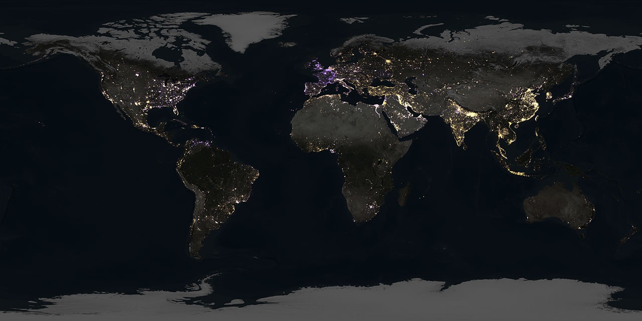
NASA Night-Light Maps Reveal an Uneven Global Energy Shift and New Clues in the Dark
Key Takeaways
- Scientists analyzed about 1.16 million nighttime satellite images collected over nine years.
- The maps show intense flaring over major U.S. oil and gas regions including the Permian Basin and Bakken Formation.
- NASA says the data captures both brightening and dimming linked to electrification, conservation, and broader volatility.
DE
DT Editorial Team··via science.nasa.gov