InnovationMore in Innovation→
Deep-Sea Robot Maps 16th-Century French Shipwreck With 86,000 Images
Key Takeaways
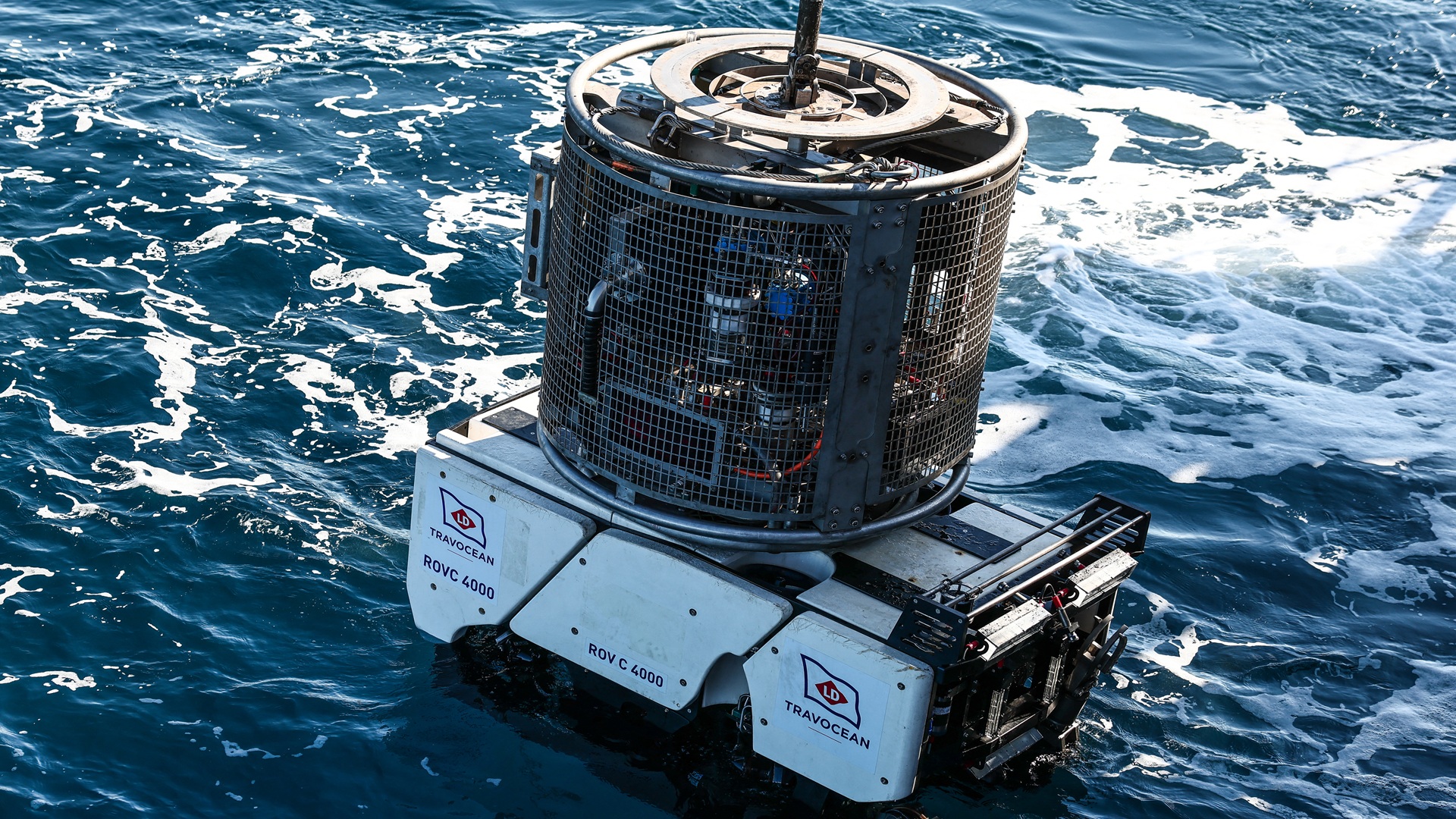
- The candidate metadata reports a robot survey more than 1.5 miles underwater.
- The mission reportedly captured 86,000 images of a 16th-century French shipwreck.
- Artifact recovery indicates the system could do more than visual inspection.
DE
DT Editorial Team··via interestingengineering.com